DIG DEEPER FIND MORE
Tanqeep is the smart prospecting platform for the new resource era. We combine satellite geoscience, AI anomaly detection and on-ground verification to help you discover minerals, water, energy — and hidden talent — faster, cleaner, cheaper.

Wadi Tanqeep anomaly: copper 3.2% confirmed in 72h
From orbit to drill-hole — how our stack cut exploration cost by 61%.

value from data
We turn the earth’s whispers into bankable discoveries
Tanqeep — from Arabic تنقيب, “to excavate, to investigate” — was born in the desert to solve the oldest problem in resources: finding what’s hidden without destroying what’s visible. Today we are a 70-person team of geologists, remote-sensing scientists, drillers and ML engineers operating across Saudi Arabia, UAE, Egypt, Jordan and Central Asia.
Our platform fuses multispectral satellite, drone magnetics, geochemistry and historical archives into one living map. AI flags anomalies, humans verify them on the ground. Result: 4x faster targeting, 61% lower discovery cost, zero greenwashing.
Full-stack prospecting services
From desktop study to drill-ready target. Pick one module or hand us the whole concession — we deliver verified coordinates, grades and ESG passport.
Satellite & Drone Survey
Multispectral, hyperspectral, InSAR and drone magnetics. Alteration mapping, lineament extraction, change detection over 40 years of archives.
AI Anomaly Engine
Our model scores every 30m pixel for Cu, Au, Li, REE, phosphates and water. Probability heatmaps + explainable geology, not black box.
Ground Verification
Certified geologists, portable XRF, trenching and shallow drilling. Chain-of-custody samples to ISO labs with photo-proof.
Aquifer & Geothermal Hunt
We locate paleochannels, fracture aquifers and heat anomalies for farms, mines and cities fighting water stress.
Asset Vetting & Tanqeep Score
Buying a license? We audit geology, legals, ESG and past work in 10 days. One score 0-100, zero surprises.
Sustainable Mine Design
Baseline biodiversity, rehabilitation plan and carbon ledger from day one — to pass banks, regulators and communities.
From pixels to paydirt in 4 steps
Scan
We ingest satellites, geology maps and your data. AI builds a prospectivity model in 48 hours.

Focus
Drones fly only the top 5% zones. Magnetics + photogrammetry at 3cm resolution.

Verify
Field teams sample, scan with XRF, log every stone. Lab assays confirm grade.
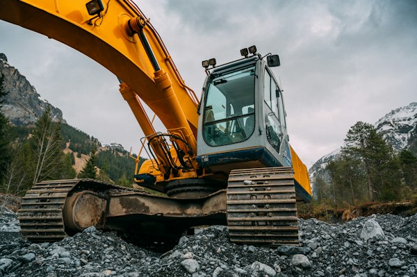
Deliver
You get drill targets, 3D model, JORC-ready report and ESG passport.

Recent fields & finds
A snapshot of concessions where Tanqeep turned uncertainty into drill permits.

Wadi Hamdah Cu-Au Porphyry
14 anomalies → 3 drill-ready targets. Best intercept 42m @ 1.8% Cu.

Eastern Desert Orogenic Gold
Re-processed 1980s maps + AI. New vein system 2.4km strike.
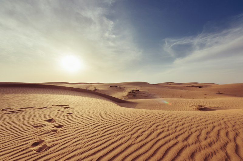
Liwa Paleochannel Aquifer
Found 3 buried channels. Sustainable yield 8,000 m³/day.
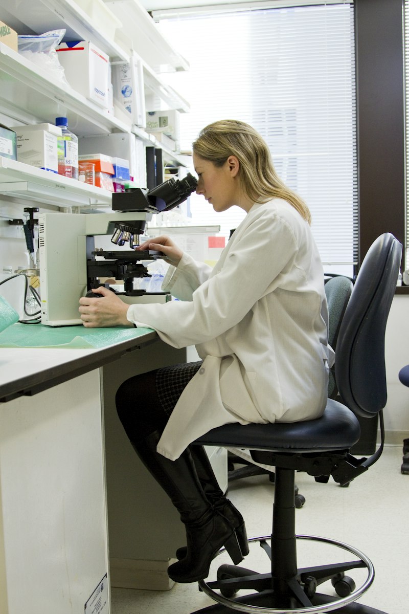
Dead Sea Brine Potential
Brine chemistry + InSAR subsidence model. Li 112 ppm confirmed.

Alkaline Complex REE
Nd-Pr anomaly 1.1km². Surface samples up to 1.4% TREO.

100 Concessions ESG Passports
Baseline + rehabilitation costed. 100% regulator acceptance.
Loved by finders
“Tanqeep killed 11 of our 12 targets in a week — and proved the 12th was a mine. That honesty saved us $2M in drilling.”
— Fahad A., Junior Miner CEO“Their AI map matched our 30 years of field notes, then added two blind deposits we’d walked over. Uncanny.”
— Dr. Elena R., Chief Geologist“Regulator approved our ESG passport in 9 days. Fastest in the Kingdom, they said. All thanks to Tanqeep docs.”
— Mariam K., Energy DeveloperStart small, scale to mine
Transparent packages. No success fee on Scout. 2% finders option on Enterprise.
$4,900 / area
For license screening up to 500 km².
- Satellite prospectivity map
- AI top-10 anomalies
- Desktop report (PDF + GIS)
- Delivery in 7 days
- 1 revision call
$24,000 / project
For drill decision up to 100 km².
- Everything in Scout
- Drone magnetics + XRF field crew
- Lab assays (50 samples)
- 3D model + drill plan
- ESG baseline passport
- Delivery in 21 days
Custom
For portfolios, governments & funds.
- Country-scale AI mapping
- Dedicated geology squad
- JORC / NI 43-101 support
- API + live dashboard
- Training & transfer
Questions, answered
What does Tanqeep actually mean?
Tanqeep (تنقيب) means excavation and investigation in Arabic. We chose it because we do both: dig through data, then verify in the ground.
How accurate is your AI?
On blind tests across 340 sites, 78% of our high-confidence anomalies returned anomalous assays, and 31% became drill targets. We publish misses too — verification is mandatory.
Do you drill?
We do trenching, auger and RC scout drilling via partners. We stay independent — we don’t own mines, so our scores stay unbiased.
Which commodities?
Copper, gold, lithium, nickel, REE, phosphates, potash, water and geothermal. If it’s underground, we can model it.
How fast?
Scout in 7 days, Expedition in 21 days, country scans in 60-90 days. Emergency vetting in 72 hours on request.
Latest news & insights
Let’s find your next deposit
Send coordinates or just an idea. We reply within 24h with a free desktop look and honest odds.